
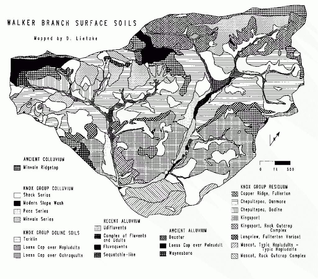
This Walker Branch Watershed soils map was compiled based on studies by D. A. Lietzke. The reference grid is ORNL coordinates with a nominal spacing of 264 feet. The contour interval is 10 feet. This map is explained further in the following report:
Lietzke, D. A. 1994. Soils of Walker Branch Watershed. ORNL/TM-11606. Oak Ridge National Laboratory, Oak Ridge, Tennessee.
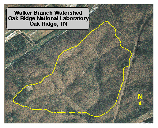
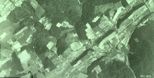
This aerial photograph was taken at an altitude of 7200 feet on 9 Apr 1993. The watershed boundaries are shown. Clearings within the boundaries of the watershed are precipitation and deposition monitoring stations.
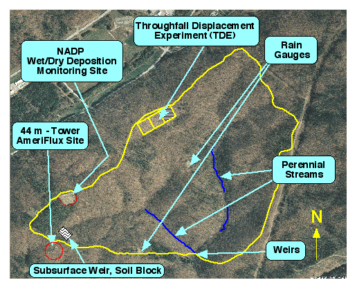
The watershed boundaries and the locations of key experimental facilities are shown.
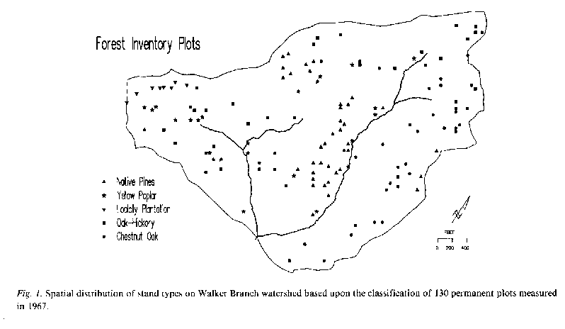
This map shows the location of forest inventory plots established in 1967 on Walker Branch Watershed. Remeasurement of the plots was performed in 1970, 1973, 1979, 1983, 1991, 1997, and 2006.
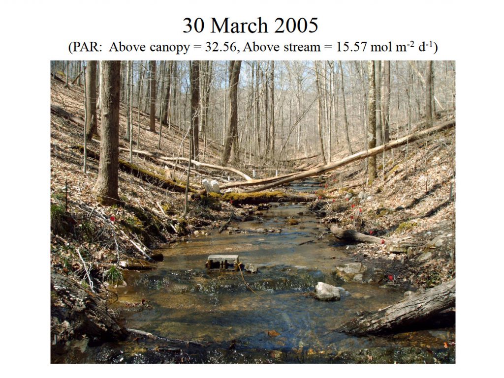
This series of photos (by B. J. Roberts) presents a time sequence of spring leafout along the West Fork. (30 March to 27 April 2005)

The land use history of Walker Branch Watershed is based on 1935 aerial photographs and other records including interviews with previous residents.
Dale, V.H., L.K. Mann, R.J. Olson, D.W. Johnson, and K.C. Dearstone. 1990. The long-term influence of past land use on the Walker Branch forest. Landscape Ecology 4: 211-224.
Photographs for the Walker Branch Watershed research area from 1935 through 1998.